
Tropical Threat Intensifies in Southern Gulf, Warning Issued for US Coast

Key Takeaways
- Tropical Depression Nine is expected to become Tropical Storm Isaias and reach hurricane strength by Thursday.
- The system is projected to impact the U.S. Gulf Coast this weekend, bringing heavy rainfall inland to the Southeast.
- Atlantic storms starting with the letter 'I' are historically among the most frequently retired due to catastrophic impacts.
With less than two months remaining in the Atlantic hurricane season, forecasters are tracking Tropical Depression Nine as it organizes over warm waters in the southern Gulf of Mexico. The National Hurricane Center projects the system will strengthen into a tropical storm by early Wednesday and reach hurricane intensity by Thursday. If designated, the cyclone will receive the name Isaias, representing the ninth named storm in what has been a comparatively subdued Atlantic season ending November 30.
Forecast models increasingly align on a northward trajectory that threatens to bring direct land impacts to the U.S. Gulf Coast over the coming weekend. Meteorologists warn that regardless of the exact wind intensity at landfall, the system will deliver moderate to heavy rainfall across the coast and expand into the broader southeastern United States through early next week. Some long-range guidance tracks the system's moisture as far inland as the Ohio Valley and the Northeast by midweek.
While precipitation hazards are confirmed, meteorologists stress that precise timing, peak intensity, and exact landfall locations remain subject to forecast variations. Some modeling suites indicate coastal impacts will begin as early as Friday evening, while alternate runs project a slower approach culminating later across the weekend. The Atlantic basin has recorded only eight named storms so far this year, subdued in part by atmospheric conditions associated with El Niño, contrasting sharply with heightened activity in the Pacific.
The impending arrival of Isaias carries notable historical precedent, as storms starting with the letter 'I' represent the most frequently retired names due to extreme damage in Atlantic basin records. Prominent retired systems include Ian in 2022, Ida in 2021, Irma in 2017, and Irene in 2011. Authorities and coastal residents along the Gulf are being advised to finalize basic storm preparations and closely monitor official alerts as track certainty improves.
Subscribe to the Global Briefing
Receive our flagship executive dispatch every morning. Essential geopolitical analysis, financial benchmarks, and breaking world events delivered to your inbox.
Related Stories & Follow-ups
Editorial Wire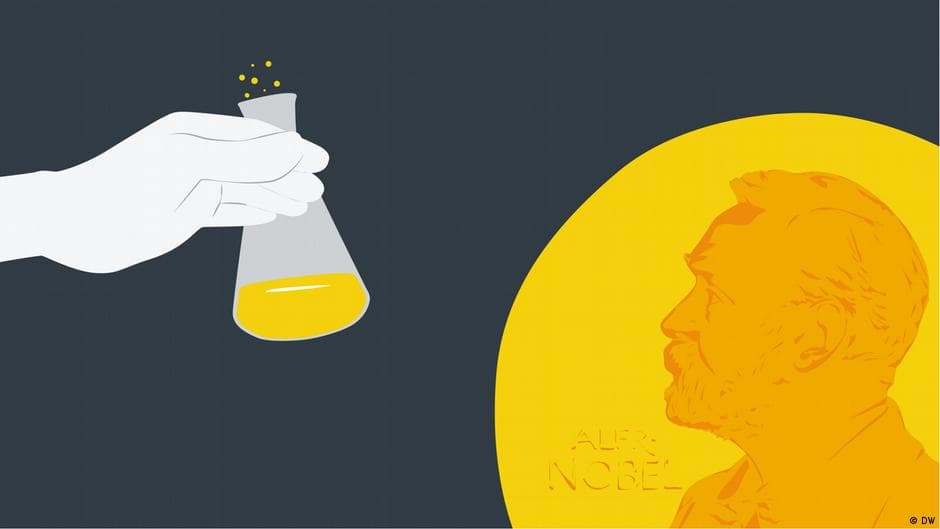 Science
Nobel Prize in Chemistry Awarded to Henri B. Kagan and Kenso Soai
 Science
Nobel Physics Prize Awarded to Francis Halzen for Astrophysical Neutrino Breakthrough
 Science
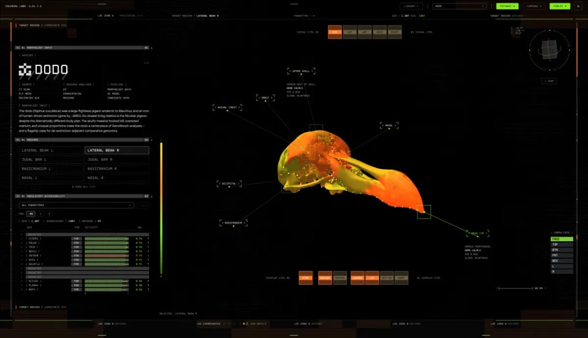
Colossal Biosciences Unveils AI Platform GenoMorph to Accelerate Dodo De-Extinction Efforts
Reader Discussion
Leave a Comment
0 Comments
Owner
Editorial Oversight & Machine-Assisted Reporting
Human-in-the-Loop VerifiedEditorial Oversight & Machine-Assisted Reporting: This dispatch was synthesized and localized via OPA automated intelligence under continuous human editorial supervision.
Wire Source
This report was synthesized from CBS under journalistic fair use.